In beta now
RTK made easy.
Centimeter accuracy, for people who aren't surveyors.
RTK is the kind of GPS that lands within about an inch instead of a few feet — if you can plug in a small receiver and read plain words.
Built and field-tested on ArduSimple receivers. More brands are on the way.
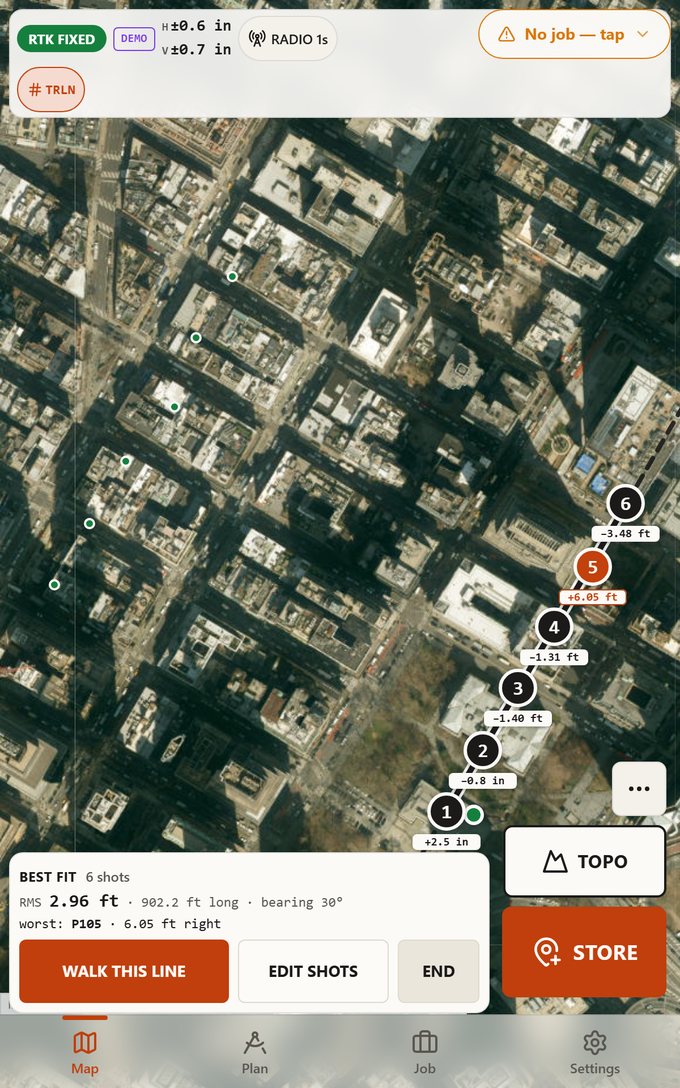
A line walked through six shots — and how far off each one is.
Who it's for
People with dirt to move, not a surveying licence.
-
Landowner
Find the corner, mark the line, put the shed where you meant to.
-
Septic installer
Set the tank, the box and the grades where the design says.
-
Excavator
Cut to the pad, check the grade, keep the machine on the line.
-
Fence and line walking
Walk the boundary through the blazes and put posts on the line.
-
Forester
Run a ribbon line, flag the cut, tie it back to the deed.
-
Landscaper
Lay out beds, walls and beds of stone without guessing twice.
What it does
Six things, done on one screen.
-
Stake out a point
A big bullseye walks you onto the mark. Right, left, on it.
-
Walk a property line
Tap along the blazes. It fits the line and shows each shot's miss.
-
See your corrections
The pill says RTK FIXED or NO FIX, and how close it is. You know when it is real.
-
Maps in the woods
Save the map before you lose signal. It still draws out there.
-
Volumes and cut-fill
Shoot the pile, get cubic yards. No spreadsheet, no assumptions.
-
Cheap receivers
Made for ArduSimple’s affordable receivers. More brands on the way.
On the screen
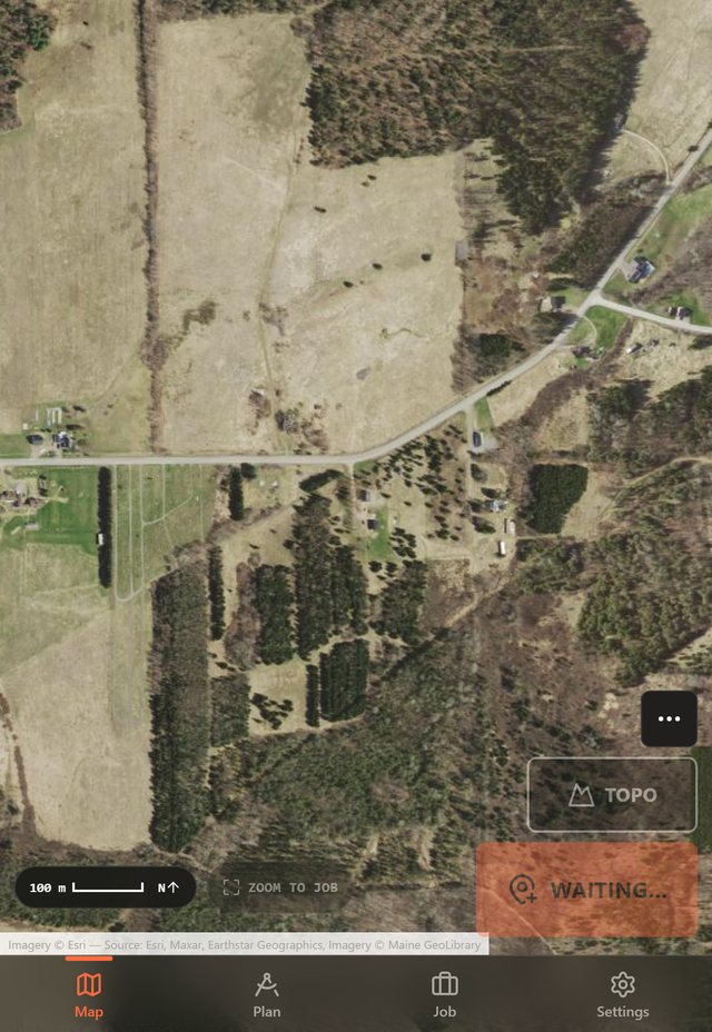
The map is the whole screen — one thumb does the rest.
- Scale bar and north arrow, always on.
- Feet or metric, your pick.
- Big buttons you can hit with gloves on.
Why not the pro apps
Same satellites.
Very different app.
Pro survey software
$400–$2,200
plus a yearly fee
- Built for licensed surveyors
- Coordinate systems and 400-page manuals
- One job won't pay for it
Other apps
Free to $240/yr
and it shows
- Locked to one brand of receiver
- Or just a map with dots on it
- You still do the math
RealRTK
$0 to $79
beta pricing
- Plain words, no jargon
- Made for affordable receivers
- Trades' tools built in
Pricing
Pay for the week you need it.
Beta pricing — it may change before launch.
Best for repeat work
Pro
$9.99/mo
or $79 a year
- Every tool, every job
- Offline maps
- Yearly saves $41
Join the beta
Get it before the price is real.
Leave your email and we'll send the link. A few testers a week, no spam, unsubscribe in one tap.
No luck with the form? Email hello@realrtk.com and we'll add you by hand.